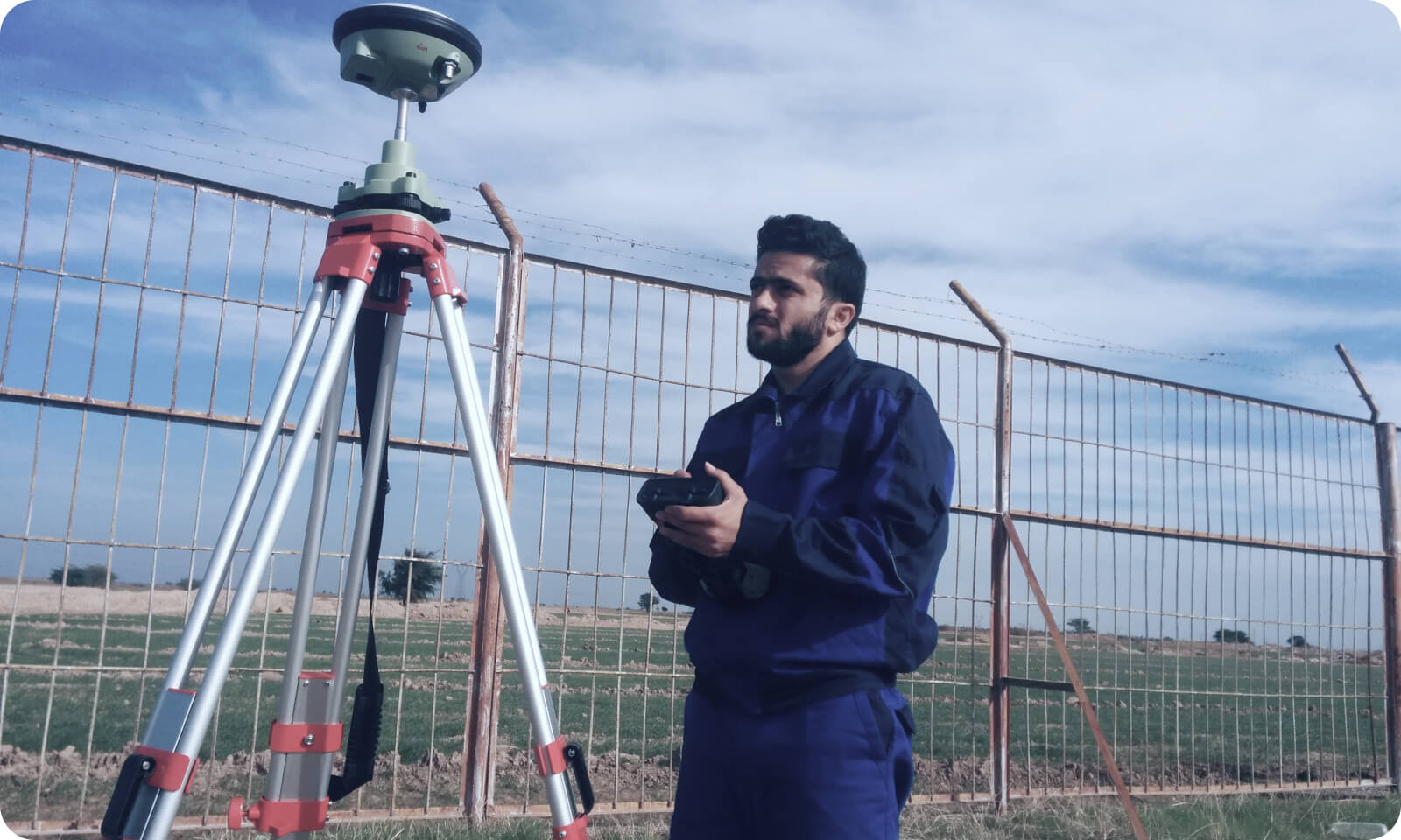
✅ 1. Precise Location of Inspection Launch and Receiver Sites
✅ 2. XYZ Mapping of the Pipeline
🔍 Result: A highly accurate XYZ mapping of the pipeline route, including:
✅ 3. Correlating Defects to GPS Coordinates
✅ 4. Pipeline Strain and Movement Monitoring
✅ 5. Integration with GIS and Integrity Management Systems
- DGPS allows operators to accurately determine and document the geographic coordinates of the pig launcher and receiver stations.
- This ensures a precise start and end point for the ILI tool’s journey.
✅ 2. XYZ Mapping of the Pipeline
- During ILI runs, tools equipped with inertial navigation systems (INS) measure the 3D position, orientation, and movement inside the pipe.
- DGPS data is used to calibrate and correct the INS data by:
- Providing reference ground truth coordinates at known locations (e.g., marker stations).
- Reducing drift in INS measurements over long distances.
🔍 Result: A highly accurate XYZ mapping of the pipeline route, including:
- Elevation profile
- Horizontal alignment
- Bends, offsets, and geographical features
✅ 3. Correlating Defects to GPS Coordinates
- DGPS enhances the spatial accuracy of detected anomalies (e.g., corrosion, dents, cracks).
- This makes it easier to:
- Pinpoint the exact location of defects above ground.
- Plan targeted excavation or repair activities.
- Avoid unnecessary digging or mislocating defects.
✅ 4. Pipeline Strain and Movement Monitoring
- In areas prone to land movement (e.g., landslides, earthquakes, subsidence), DGPS and ILI data together can detect:
- Pipeline strain
- Shifts or deformation
- This helps in proactive risk management and integrity evaluation.
✅ 5. Integration with GIS and Integrity Management Systems
- DGPS-based location data is used to integrate ILI results into GIS platforms.
- This supports:
- Lifecycle management
- Asset integrity tracking
- Regulatory compliance (e.g., PHMSA, NACE standards)

